
The Drone
Program: GIS / Surveying / Drone Operations
The Drone
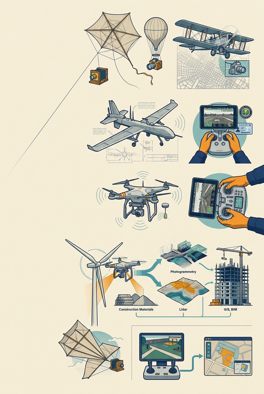
The newest tool on the wall is also the highest.
Aerial photography. Kites and balloons in the 1800s; airplanes in the 1900s map cities for planners.
Military drones. Remote-piloted aircraft through the twentieth century.
2010s. Cheap GPS, cameras and batteries put quadcopters in every trade's hands.
2016. FAA Part 107 creates a certificate for commercial small-drone pilots in the United States.
On site. Drones survey land, measure stockpiles, inspect roofs, towers, bridges and wind turbines, and track a building's progress floor by floor.
The data. Photogrammetry and lidar become 3-D models that flow into GIS and BIM.
Try it. Fly the simulator over the Student Yard. Then compare your map to the surveyor's.
 BCU5QK
reading