
Series E · The Sea
The Chart
Program: Maritime Crew (deck/engine)
Museum of VoTech · The Sea
The Chart
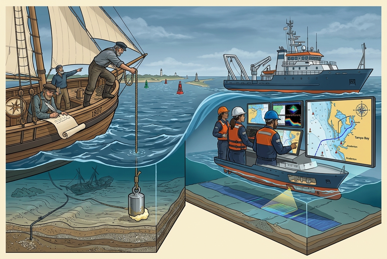
A map shows land. A chart shows water: how deep, what is under it, and how to stay off it.
Soundings. A lead line with a lump of tallow: depth and a sample of the bottom (sand, mud, shell).
1807. Congress creates the Survey of the Coast; American waters are charted systematically.
Chart datum. Depths on U.S. charts are measured from mean lower low water, so real water is usually deeper than the number.
What is on it. Buoys, lights, channels, wrecks, cables, bridges, magnetic variation, compass rose.
Today. Multibeam sonar, electronic chart systems, NOAA electronic navigational charts.
Try it. Plot a course from the Bradenton channel into Tampa Bay. Which buoys do you pass, and on which side?
Scan for the reading · newschoolworks.com/q/4YWDS6 4YWDS6
4YWDS648 × 36 in landscape · aluminum composite, UV print, matte laminate · 119 words — within the 250-word rule · status
reading